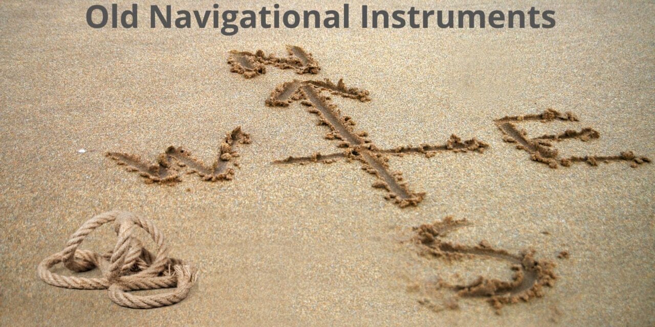
Navigating the seas before the advent of modern technology was no easy feat. Without satellite systems, GPS, or even radar, sailors relied on the stars, wind, and a range of clever instruments to make their way across the world’s oceans. These instruments were simple in construction but vital for survival, especially in the vast, unforgiving expanse of open water where land was a distant memory.
In this blog post, we’ll take a journey through time to look at some of the navigational instruments used by seafarers of old. From the humble compass to the awe-inspiring sextant, we’ll see how these tools worked and how they revolutionised navigation as we know it today.
1. Maps and Landmarks
Before sophisticated tools, sailors mainly relied on what they could see—landmarks like mountains, cliffs, and large rock formations. This form of navigation, known as “pilotage,” was used by early sailors, particularly those who stayed close to shore. Ancient Mediterranean mariners, for example, sailed within sight of land, using prominent features to determine their position.
Early portolan charts, created as early as the 13th century, were designed specifically for maritime use. These charts didn’t show the world as accurately as modern maps, but they provided information on harbours, coastal features, and trade routes. The oldest known portolan chart, the Carte Pisane, dates back to around 1290. It was designed to be functional for sailors, depicting coastlines with remarkable accuracy for the time.
However, as sailors ventured further from shore, reliance on visible landmarks wasn’t an option. Open ocean meant open questions—where exactly were they, and how could they know where they were going? This challenge ushered in a new era of navigation, dependent on tools that went beyond what the eye could see.
2. The Basics of Navigational Rules
As oceanic exploration began, mariners started to develop navigational principles that didn’t depend solely on landmarks or maps. These were techniques that, in the simplest terms, helped keep ships on the right path during long journeys:
- Parallel sailing meant navigating along a single line of latitude, using the North Star (Polaris) or the Sun’s position for reference. This was particularly useful on east-west voyages.
- Rolling sailing (or dead reckoning) involved making calculations based on the ship’s speed, direction, and elapsed time. Sailors would plot their course on charts and adjust it based on the current, wind direction, and other environmental factors. This method, however, was prone to error over long distances, particularly if navigators miscalculated their speed or direction.
Together, these methods formed the backbone of navigation for centuries. But it wasn’t until navigators began measuring angles between celestial objects and the horizon that they truly mastered the art of crossing oceans with accuracy.
3. The Compass: Pointing the Way
One of the most important navigational breakthroughs was the introduction of the magnetic compass. Before its widespread use in Europe, sailors primarily used the stars to determine their direction. But in stormy weather or when the sky was overcast, this wasn’t always possible.
The compass, originating in China around 200 BC, arrived in Europe sometime in the 12th century. The earliest European compasses consisted of a magnetised needle floating in a bowl of water. By the 14th century, compasses had evolved into more recognisable forms, with a magnetised needle mounted on a pivot and a card displaying directions.
Magnetic variation (the difference between magnetic north and true north) posed challenges, but sailors learned to account for it. By using a compass alongside the sun and stars, they could chart a more accurate course.
Table: Evolution of the Compass
| Type of Compass | Description |
|---|---|
| Lodestone Compass | Early Chinese model using natural magnets (lodestones). |
| Dry Compass | The earliest European version with a magnetised needle mounted on a pivot. |
| Liquid Compass | Compass needle suspended in liquid to reduce erratic movement caused by ship motion (developed in the 16th century). |
| Gyrocompass | Developed in the 20th century, this non-magnetic compass relies on the Earth’s rotation for accuracy. |
The compass became indispensable for ocean navigation, especially when combined with other instruments that allowed sailors to calculate their latitude and, later, longitude.
4. Sand Glass: Time and Speed Measurement
Although simple in design, the sand glass (or hourglass) played a vital role in early navigation. Keeping track of time was essential for determining both speed and distance travelled. The sand glass was also part of the method for determining a ship’s speed, known as “heaving the log” (more on that later).
Sailors typically used 30-minute or one-hour sand glasses to track watch duties and measure the passage of time. Combined with a chip log (a device that measured the ship’s speed), the sand glass allowed mariners to calculate how far they had travelled, helping them estimate their position at sea.
In an era without precise timekeeping, this method was remarkably effective. However, errors did creep in. As any sailor knows, misjudging your speed can throw off your course by miles—an error you might only realise when land fails to appear where it should!
5. Celestial Navigation: Guiding by the Stars
As sailors ventured farther into the oceans, beyond sight of land, they needed more reliable ways to navigate. This led to the development of celestial navigation, a technique based on the positions of the stars, sun, moon, and planets.
By observing celestial bodies and calculating their angles relative to the horizon, navigators could determine their latitude—essentially, how far north or south they were. The most important star for this purpose was Polaris (the North Star), which is nearly aligned with Earth’s axis of rotation and appears almost stationary in the sky. The height of Polaris above the horizon directly corresponds to the observer’s latitude in the Northern Hemisphere.
One of the earliest tools used for celestial navigation was the cross-staff. This simple instrument allowed navigators to measure the angle between the horizon and a celestial body by moving a horizontal crosspiece along a vertical staff. However, it had one significant drawback: sailors had to look directly at the sun to take measurements, which wasn’t ideal.
As time went on, more sophisticated instruments were developed that improved the accuracy of these measurements.
6. The Sextant: Precision in the Stars
The sextant is perhaps the most iconic of all navigational instruments. Invented in the mid-18th century, the sextant measures the angle between two visible objects, typically a celestial body and the horizon. With the sextant, sailors could not only find their latitude but, with the help of a marine chronometer (more on that later), they could also calculate longitude.
The sextant works using a system of mirrors. When a navigator looks through the sextant, they see two images: one of the horizon and one of the celestial object they’re measuring. By adjusting the arm of the sextant, they bring the two images into alignment, allowing them to measure the angle with great precision.
The sextant’s design made it incredibly accurate. Using it, mariners could calculate their position to within a few miles—a huge leap forward from earlier methods. Its portability and reliability meant that the sextant became a standard tool for sailors right up until the modern era. Even today, many long-distance sailors carry one as a backup to electronic navigation systems.
7. Earlier Celestial Tools: The Astrolabe, Octant, and Quadrant
Before the sextant became the gold standard of celestial navigation, several other instruments played key roles in helping sailors find their way across the oceans.
- The Astrolabe: Originally developed by the Greeks, the astrolabe was adapted by sailors in the Middle Ages. This instrument allowed mariners to measure the height of the stars above the horizon, giving them a way to calculate their latitude. However, astrolabes were cumbersome and difficult to use on the rolling deck of a ship.
- The Octant: The octant was developed in the early 18th century and was a precursor to the sextant. It measured angles up to 45 degrees, making it ideal for determining the altitude of celestial bodies. The octant was more portable and accurate than earlier instruments like the astrolabe, which quickly made it popular among mariners.
- The Quadrant: The quadrant was a medieval instrument that measured the height of the sun or a star above the horizon. It was simpler and cheaper to produce than the astrolabe but offered less accuracy. In the early days of exploration, it was widely used but was eventually superseded by the more precise octant and sextant.
Each of these instruments represented an important step in the evolution of navigational technology, helping sailors explore new worlds and chart unknown seas. You can learn how to use it when Building your Miles during one of our Transatlantic passages
8. Backstaff (Back Quadrant)
The backstaff (or Davis Quadrant) was another early navigational instrument used for measuring the altitude of the sun. The backstaff had one significant advantage over the earlier cross-staff: it allowed the user to measure the altitude of the sun without looking directly at it. Instead, the navigator would use the shadow cast by the sun.
Invented by John Davis in 1594, the backstaff became a popular tool for measuring latitude throughout the 17th and 18th centuries. While it wasn’t as precise as the later sextant, it was easier to use and much safer for the eyes. The backstaff’s design also made it more stable and less prone to errors caused by the movement of the ship.
9. Pelorus: Keeping the Course Steady
A pelorus is a simple yet effective tool used to determine the bearing of a landmark or celestial body relative to the ship’s heading. It doesn’t have a magnetic needle like a compass but instead acts as a sighting device. The navigator would line up a mark on the pelorus with a distant object and note the angle between the object and the ship’s heading.
The pelorus was particularly useful for coastal navigation, where sailors could use landmarks to stay on course. It could also be used alongside a magnetic compass to double-check bearings and make corrections for magnetic deviation (the compass error caused by nearby iron or steel objects).
10. Ship Logs: Measuring Speed Through the Water
The chip log was a simple yet ingenious device used by sailors to measure the speed of their vessel. The name gives away how it worked: a small wooden chip was tied to a rope, which was marked at regular intervals with knots. To measure speed, the sailor would throw the chip overboard, letting it trail behind the ship. As the ship sailed, the rope would be let out, and the sailor would count how many knots passed through their hands over a set period (usually 30 seconds or a minute).
This method gave rise to the term “knots” as a unit of speed, which is still used today to measure nautical miles per hour. It’s an elegant solution to a tricky problem—how do you measure speed in an environment where there are no reference points like roads or trees?
Lead line: Along with the chip log, sailors used a lead line to measure the depth of the water beneath them. A lead weight, often hollowed at the bottom and filled with tallow, was tied to the end of a long rope. The weight was lowered overboard until it hit the seabed, and the depth was measured by counting the marks on the line. The tallow in the lead’s bottom would pick up samples of the seabed, providing clues about the type of ground below (sand, mud, gravel), which helped sailors assess anchoring conditions.
11. Depth Sounding Tools: Lead Line and Walker’s Depth Finder
As ships ventured farther into unfamiliar waters, knowing the depth beneath them became increasingly important, particularly in coastal regions. The lead line, a weighted rope marked at intervals, was the primary tool for measuring depth for centuries. This simple method allowed sailors to determine whether they were in safe waters or if they needed to adjust their course to avoid grounding.
In the late 19th century, the Walker’s Depth Finder provided a more sophisticated approach. This tool used a propeller dragged behind the ship, which would spin as the vessel moved. The number of revolutions recorded by the instrument gave sailors an idea of the ship’s speed and, when combined with a lead line, its depth. This was a precursor to modern sonar depth finders, which now rely on sound waves to measure water depth.
12. The Traverse Board: Recording the Journey
The traverse board was a fascinating tool used by sailors to keep track of the ship’s speed and direction over the course of a watch (usually four hours). The board had a series of pegs and holes that represented different directions and speeds. As the ship’s heading and speed changed, the officer of the watch would move the pegs to reflect these changes.
At the end of the watch, the data from the traverse board would be used to calculate the ship’s overall progress. It was a kind of “low-tech logbook,” providing a physical record of the ship’s movements in an era before precise timekeeping and instruments were available. The traverse board was an essential tool for dead reckoning, the process of estimating a ship’s position based on its course and speed.
Conclusion
Sailing the open seas was once an extraordinary act of bravery, requiring not only skill and determination but also a deep understanding of the tools that could guide a ship across the vast oceans. From the compass and sand glass to the sextant and lead line, these instruments helped sailors chart their courses, find their position, and measure their progress in a world that, to them, must have seemed endless.
Today, technology has replaced many of these traditional tools, but the principles they taught and the ingenuity they represent remain a vital part of maritime history. Sailors today, equipped with modern GPS and electronic charts, owe a debt of gratitude to these simple instruments that once made ocean voyages possible. And who knows—on a long passage, when the GPS signal fails, the trusty sextant or compass might just save the day!
Safe passage, wherever the wind takes you.

