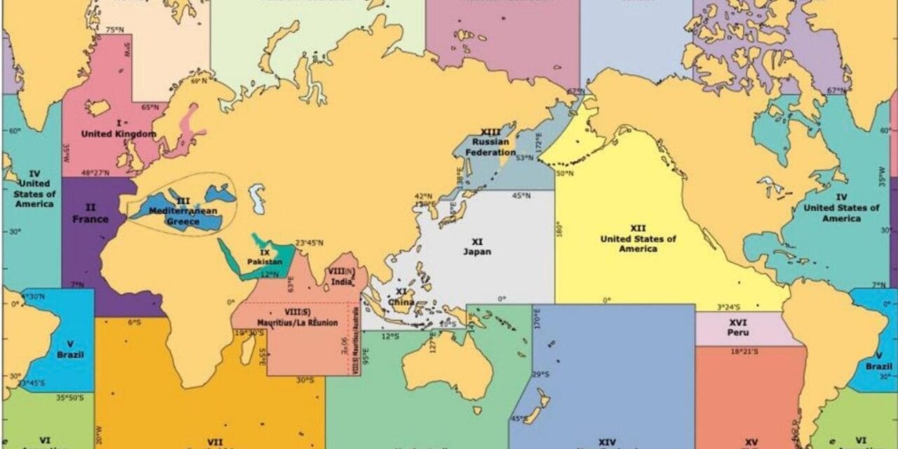
Types of Marine Warnings for Sailors
Before we delve into the how, let’s touch on the what. Marine warnings come in various forms:
- Weather Warnings: Alerts about storms, high winds, fog, and other meteorological phenomena that could affect our journey.
- Navigational Warnings: Information on changes in buoy positions, new obstructions, or dredging operations that could impact our route.
- Security Warnings: Updates on areas affected by piracy, military exercises, or restricted zones.
Internet Communications
In this digital age, the internet has become a treasure trove of up-to-date information:
- Marine Websites: Sites like the Met Office and Admiralty provide the latest weather forecasts and navigational updates.
- Email Alerts and Subscriptions: Signing up for regular bulletins ensures you receive timely information straight to your inbox.
- Mobile Apps: Numerous apps offer real-time warnings and alerts, handy for when you’re on the move.
Radio Communications
Despite the rise of the internet, radio remains a stalwart in marine communication:
- VHF Radio Broadcasts: Regularly scheduled broadcasts provide weather updates and safety information. Channels 16 and 67 are particularly important.
- HF Radio: For those venturing offshore, HF radio offers long-range communication capabilities.
- Weather Fax: A method to receive weather charts over radio frequencies, invaluable for visualising weather systems.
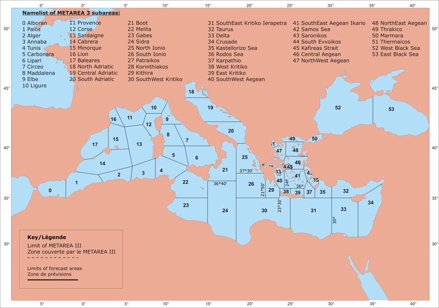
Navtex
For those unfamiliar, Navtex is an international automated service for delivering navigational and meteorological warnings:
- What is Navtex? It’s like having a dedicated printer that provides critical updates for your area without any prompting.
- Setting Up Navtex Equipment: Installation is straightforward, but ensure your receiver is properly configured to your sailing regions.
- Interpreting Navtex Messages: Messages are coded, so it’s worth spending time understanding the format to quickly grasp the information.
My Advice: re-check you remember how to use and read Navtex messages. Skippers often forget these skills and use wrong station or waiting for ice communicates in Barbados 🙂 You will not know when the fire exercises starts and where exactly. There are also tugs or vessels working with telecom cables. And they can be on your course!
Satellite Communications
When venturing further afield, satellite communications become essential:
- Inmarsat SafetyNET: Provides global maritime safety information, ensuring you’re never out of the loop, no matter how remote your location.
- Emergency Position Indicating Radio Beacons (EPIRBs): These devices alert search and rescue services in case of distress, transmitting your location via satellite.
Automatic Identification System (AIS)
AIS isn’t just for tracking ships; it’s also a valuable tool for receiving safety messages:
- Receiving Safety Messages: AIS can broadcast warnings such as nearby hazards or distress signals from other vessels.
- Integration with Other Systems: Modern chartplotters can integrate AIS data, providing a comprehensive view of your surroundings.
Publications and Notices
Never underestimate the power of traditional publications:
- Notices to Mariners: Official updates that correct and update nautical charts and publications. Regularly consulting them is key for accurate navigation.
- Local Navigational Warnings: Harbour authorities and local bodies often issue warnings pertinent to their specific areas.
- Marine Safety Information Bulletins: Additional publications that provide critical updates on safety information.
Best Practices for Receiving Marine Warnings
To make the most of these resources, keep in mind the following:
- Regular Equipment Checks: Ensure all your devices are in working order before setting sail.
- Staying Updated: Make it a habit to check for the latest information before and during your voyage.
- Training and Familiarisation: Spend time getting to know your equipment. The more familiar you are, the quicker you can interpret warnings when they come through.
Conclusion
The sea may be unpredictable, but with the wealth of information available to us today, we can face its uncertainties more confidently. By utilising a combination of internet resources, radio communications, Navtex, satellite systems, AIS, and traditional publications, we equip ourselves with the knowledge to make informed decisions. If you are not feel comfortable to sail alone and consider hiring skipper read our short guide “Is a yacht delivery safe“?
So, before you cast off those lines and set sail on your next adventure, make sure you’re fully informed. Safe sailing, and may the winds be ever in your favour
